Powell River Hikes
Explore Powell River’s pristine backcountry with limitless hiking opportunities

Explore Powell River’s pristine backcountry with limitless hiking opportunities
This one’s is a Powell River favourite. It’s easily accessible from town, suitable for all, and it’s super educational too!
From its start at the Willingdon Beach campground, the trail follows the coast along an old rail bed once used to carry logs to the Powell River Company Mill.
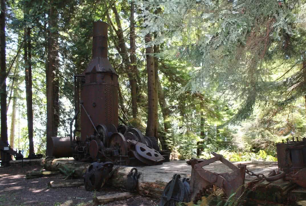
The trail used interpretive signs along its length to teach hikers about local history, flora and fauna. There are also explanations of the long-retired logging equipment which is displayed beneath old growth firs, cedars, and maples alng the way.
Powell River has a proud history waiting to be discovered by its visitors. The Willingdon Beach trail brings a lot of this history to light in a beautiful setting.
The Duck Lake trails are a network of trails that begin in and around the Duck Lake area, accessed up Haslam road in Cranberry (turn right at the top of the hill and follow the service road for approximately 10 minutes).
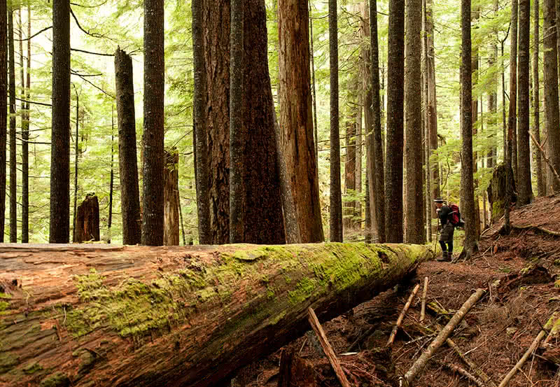
With over 50km of trails, this area has something for everyone – huge mossy old-growth forests with cascading waterfalls, very easy to quite challenging terrain, handcrafted log bridges spanning salmon bearing streams – all maintained by local volunteers and enjoyed by walkers, trail runners, mountain bikers, dog walkers and tourists alike!
If want to see a great view of Powell River from above, and a little more elevation to your hiking, Valentine Mountain is located behind the cemetery in Cranberry.
This short trail is very popular and climbs slowly but steadily to the foot of Cranberry Mountain, before a final short and steep climb to the summit. Immediately you are greeted with an incredible view over the historic Townsite district, the mill, the Strait of Georgia and Texada and Harwood Islands, and to the west the mountains of Vancouver Island.
There is a great place to rest and eat lunch here, but further exploration leads down winding trails to secondary viewpoints of the emerald blue of Powell Lake and the Shingle Mill restaurant, as well as the Coast Mountains to the east.

Atrevida Loop is reached directly off Highway 101, about 12 kilometres south of Lund and just north of the junction at Atrevida Road. The loop will take an average hiker about an hour or so to complete and is relatively flat, passing through strands of ancient firs and cedars. Indeed, some of the bigger firs are estimated to be around 1000 years old!
From the Atrevida Loop, you can access other trail systems, including the Sunshine Coast trail and the Appleton Canyon.
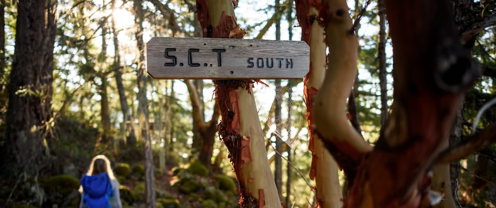
Beginning a couple kilometres south of Lund on the Highway 101, the Hurtado Point Loop is a beautiful, easy going hike that leads hikers to a series of mossy bluffs overlooking the northern Strait of Georgia, and specifically the spectacular sandy beaches of Savary Island. The scenery and plant life encountered is quite different from more inland hikes, with altogether drier conditions perfect for species such as shore pines and beautiful ruddy-brown arbutus trees thriving in the harsh rocky conditions that other species just cannot endure.
If you are staying at the Dinner Rock campground this loop trail can be accessed directly through a trail that passes right through the campsite and makes for a fantastic exploratory day trip without even having to break camp.

Emma Lake is the least easily accessible – but inevitably most rewarding – backcountry hike in the Powell River area, nestled in amongst the peaks of the South Powell Divide.
Hikers climb rapidly through a steep section of the trail known as the ‘Stairmaster’ for between 2 and 3 hours, before finally reaching the ridge that overlooks the lake and then descending to the cabin in the bowl below.
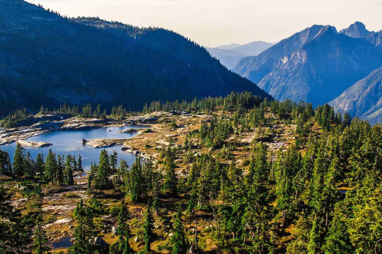
Emma lake itself is a truly stunning alpine lake that glistens with colours of turquoise and green in the sun. Often it will still hold winter ice well into July and August! There are many day hikes along the ridges of the surrounding peaks, and easy access to the South Powell Divide itself. Many people decide to use the cabin as a base for further exploration of the incredible area. Be sure to bring bug spray though, as they can be very aggressive up there in the summer months.
Located at an elevation of between 5300-5500 feet, the Knuckleheads Recreation Area is a 4-season paradise, with relatively easy access using forest service roads and two volunteer built backcountry huts that make the area an awesome place for a multi-day hiking, snowshoeing, ski-touring in the winter.
While most see the area as a winter wonderland, the area is very popular in the summer with hikers, naturalists, and ATV users on day trips. Access to the area is via a complex network of active forestry roads, and care should be taken to get reliable directions (forestry maps are available in town) and ensure that there is no active logging occurring in the areas you intend to travel ahead of time.

10676 Crowther Road
Powell River, BC V8A 0G4
(604) 483 2160
1 (866) 617 4444 (toll-free)
